
By: Richard L. Smith
Good evening, New Jersey! If you’re heading home from work or traveling across North Jersey, use extra caution. 
Strong thunderstorms moved through the region late Tuesday afternoon, bringing torrential rain, dangerous lightning, and rapidly rising floodwaters that created hazardous travel conditions in several communities.
Emergency crews responded to multiple weather-related incidents across the region. In Hawthorne, firefighters reported a house on Prospect Street was struck by lightning.
Another reported lightning strike in Wayne prompted firefighters to investigate a residence after an odor of burning was reported.
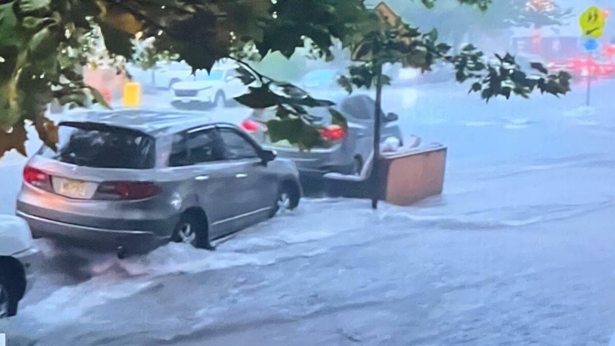
Flooding also caused significant problems on area roadways. In South Orange, police responded to flooded conditions at Mountain House Road and North Ridgewood Road. In West Orange, emergency crews requested police shut down Northfield Avenue after the roadway became completely flooded.
In Paterson, firefighters rescued an occupant from a vehicle trapped in floodwaters near Getty Avenue. Minutes later, a second vehicle entered the same flooded area, requiring another emergency response.
The National Weather Service says showers and thunderstorms will continue through the evening, with some storms capable of becoming severe.
Temperatures will remain around 76 degrees with south winds around 10 mph and gusts up to 20 mph. Additional rainfall of one-quarter to one-half inch is possible, with locally higher amounts in heavier downpours.
An AccuWeather Alert remains in effect for parts of the region. If you must travel, slow down, never drive through flooded roadways, and be alert for changing weather conditions.
The RLS Media team will continue monitoring the storms and provide updates as conditions develop. Stay safe and use caution if you’re out this evening.