By: Richard L. Smith
New Jersey residents are waking up to the calm before the storm Sunday morning as the state braces for a powerful Nor’easter expected to bring heavy rain, strong winds, and potential flooding later today.

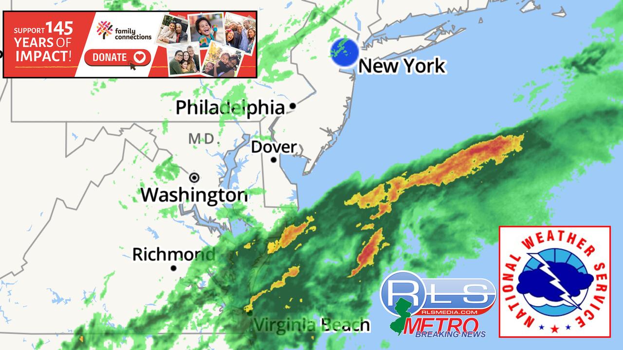
According to the National Weather Service, steady rain is expected to begin around 1 p.m., gradually intensifying through the afternoon and evening. The heaviest downpours are expected between 3 p.m. and overnight, continuing into the early hours of Columbus Day Monday.
The system is forecast to dump several inches of rain across the region, with winds ranging from 40 to 60 miles per hour.
These gusts could cause scattered power outages, downed trees, and flooding in low-lying neighborhoods, especially in flood-prone areas of Newark and North Jersey.
Acting Governor Tahesha Way had declared a State of Emergency ahead of the storm to ensure resources are ready for potential storm-related impacts.
NWS Forecasters say Sunday’s high will hover near 59 degrees, with northeast winds of 16 to 18 mph and gusts up to 34 mph. Tonight’s low will be around 55, with continued rain and winds gusting as high as 38 mph.
Residents are urged to secure outdoor items, avoid unnecessary travel during peak conditions, and prepare for possible power disruptions.