By: Richard L. Smith
New Jersey is bracing for a powerful storm expected to bring torrential rain, damaging winds, and dangerous flash flooding later today.
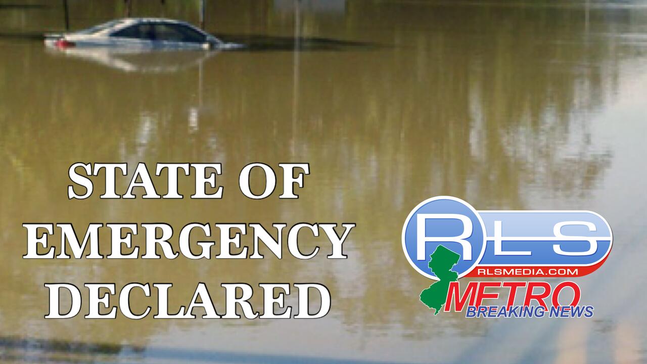
Acting Governor Tahesha Way has declared a State of Emergency for all 21 counties, effective at 2 p.m., as the storm moves in from the west. 
State offices closed early this afternoon to allow workers to travel safely and free up resources for emergency response.
The National Weather Service has issued a Flood Watch through early Friday morning, warning of a moderate risk for flash flooding across central and northern parts of the state.
Rainfall totals of one to three inches are forecast statewide, with some areas potentially seeing five to seven inches.
Rainfall rates could exceed two inches per hour, posing a significant hazard for drivers and low-lying neighborhoods.
In Newark, contingency plans are already underway as officials prepare for the brunt of the storm expected to arrive between 2:30 and 3:00 p.m.
Winds with gusts near 25 mph and severe thunderstorms are likely to persist into the night before tapering off Friday morning.
The emergency declaration follows deadly flooding two weeks ago in Plainfield, where two women lost their lives after being swept away by rapidly rising waters.
With the storm bearing down, officials are urging residents to stay home, avoid flooded streets, and prepare for possible power outages.

Meteorologists warn that the Interstate 95 corridor, including Newark and surrounding cities, will see the greatest impact.
Authorities stress that flash flooding can develop quickly and advise residents to remain vigilant, monitor official alerts, and be ready to move to higher ground if necessary.