By: Najla Alexander
Middlesex County officials announced that the County is making significant strides toward its Vision Zero goal—eliminating all traffic-related fatalities and serious injuries—through its 2025 Road Resurfacing Program.

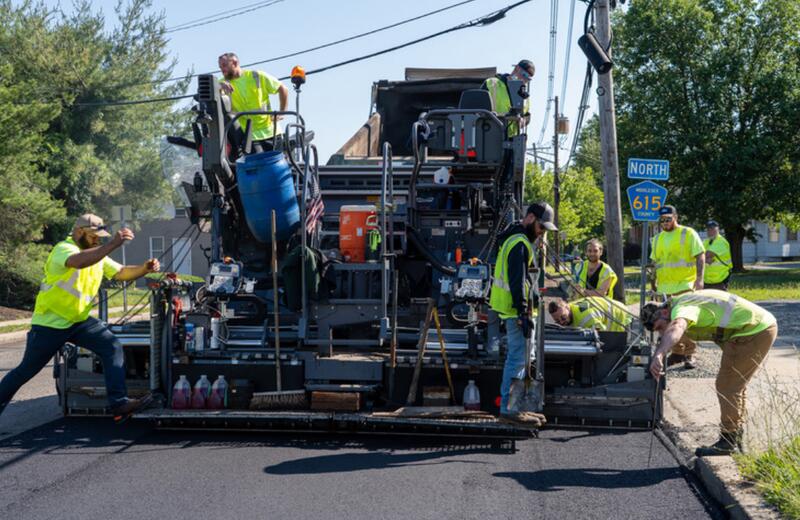
This summer, the County will pave, resurface, and repair nearly 40 roadways and public areas across 19 municipalities, improving safety, reducing long-term maintenance costs, and enhancing the quality of life for residents and visitors who travel on County roads, MCPO officials said.
Middlesex County officials said that, led by the Middlesex County Department of Transportation, this initiative is grounded in data-driven assessments of traffic patterns, road conditions, and infrastructure needs.
It includes resurfacing key roadways, park roads, and parking lots as part of the County’s comprehensive Vision Zero Action Plan, MCPO officials stated. 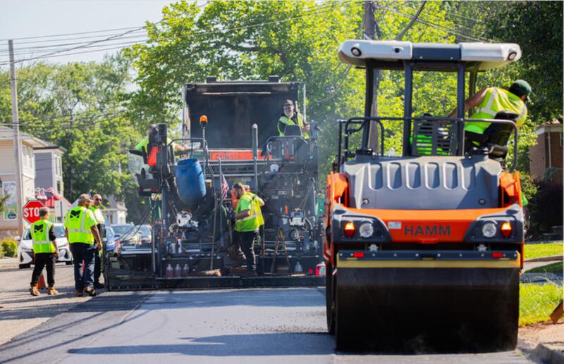
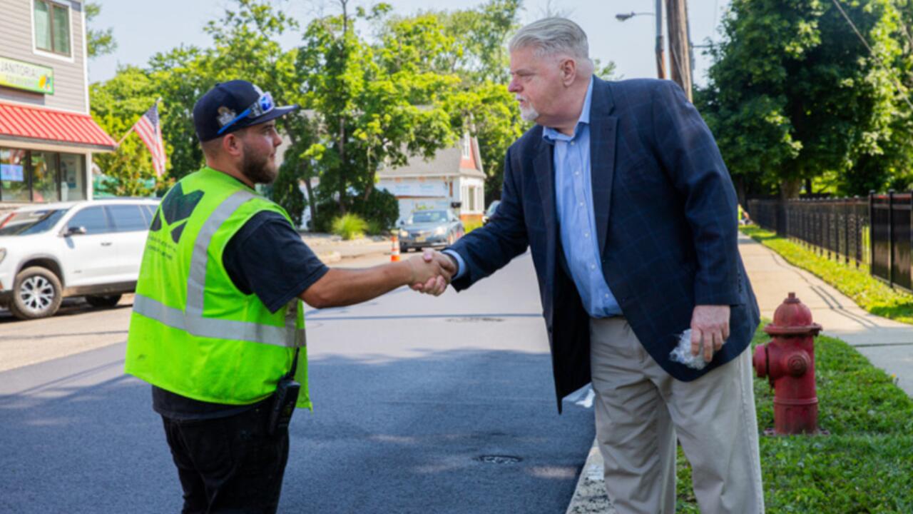
“The 2025 resurfacing program is a direct investment in public safety and quality of life—one that supports economic activity and ensures our transportation network is ready to meet current and future demands,” said Middlesex County Commissioner Director Ronald G. Rios.
“As Chair of the County’s Transportation Committee, I’m proud to support this collaborative effort that improves safety for drivers, cyclists, and pedestrians alike,” said Middlesex County Commissioner Charles Kenny, Chair of the Transportation Committee.
Roadways Scheduled for Resurfacing
The following locations are included in the 2025 Resurfacing Program:
Municipality Road Name Limits
Carteret-Medwick Park-Roads & Parking Lots
Cranbury-Main Street-Park Place to 1 Main Street
Cranbury Old-Trenton Road-Liedtke Drive to Bridge 124B100 Deck
Cranbury-Prospect Plains-Road Fairview Drive to NJ Turnpike Bridge Deck
Dunellen -Jackson Avenue-North Avenue to its Terminus
East Brunswick -Cranbury Road-Laurie Drive to Merrill Avenue
East Brunswick -Milltown Road-Jenson Street to Route 18 Ramp
East Brunswick-Old Bridge Turnpike-Main Street (EB) to Route 18 Ramp
East Brunswick-Ryders Lane-Tices Lane to Labor Center Way
Edison-Inman Avenue-Louis Court to Kate Place
Edison-Inman Avenue-Churchill Road to Featherbed Lane
Edison-Oakwood Avenue-Parsonage Road to Veterans Home Driveway
Edison-Plainfield Avenue-Central Avenue to just past NJT Northeast Corridor Rail Bridge
Edison-Plainfield Road-Marion Street to Oak Tree Road
Edison-Roosevelt Park- Various Roads & Parking Lots as per plans
Edison/S. Plainfield-Woodland Avenue-Old Raritan Rd to County Line
Jamesburg- East Railroad Avenue- 9 East Railroad Avenue to Bridge 125B114 Deck
Middlesex- Lincoln Boulevard- Mountain Avenue to South Lincoln Avenue
Milltown- Ryders Lane- At Railroad Tracks (Both Sides)
Monroe- Perrineville Road- 1408 Perrineville Road to Rt 33 Jurisdiction Limit (near Bakers American Grill)
New Brunswick- Jersey Avenue- Van Dyke Avenue to Sanford Street
North Brunswick- Old Georges Road- Route 130 to Route 130 (Behind Chase Bank)
North Brunswick- Old Georges Road- Section Intersecting to Church Lane
Old Bridge- Old Bridge-Englishtown Road- 1526 Old Bridge-Englishtown Road to 1756 Old Bridge-Englishtown Road (Schmidts Farm)
Old Bridge- Old Bridge-Matawan Road- Trevor Place to Amboy Road (Pavement Break)
Perth Amboy- Market Street- Bertrand Avenue to Elm Street
Piscataway- South Washington Avenue- Route 287 Ramp to Knox Drive
Plainsboro- Scudders Mill Road- Schalks Crossing Road to College Road East
Plainsboro- Tamarron Drive- End of Median @ Plainsboro Road to Meadows GC
South Brunswick- Old Road-Lincoln Highway (Rt 27) to Cul-de-sac [Entire Roadway]
South Plainfield- Maple Avenue- Adeline Avenue to Park Avenue
South Plainfield- Park Avenue- Union County Line to Maple Avenue
South Plainfield- Plainfield Avenue-Sampton Avenue to Maple Avenue
South Plainfield- Spring Lake Park- Roads & Parking Lots
South Plainfield- Hamilton Blvd / K of C Boulevard- Lakeview Avenue to dead end at Conrail tracks
Spotswood- Main Street- 323 Main Street (Easy Mart Driveway) to Conrail RxR Crossing
Woodbridge- Oak Tree Road- NJ Route 27 to Garden State Parkway Bridge
Woodbridge- Port Reading Avenue & West Avenue- As per Map
Woodbridge- West Avenue- Marsh Street to Milos Way
Middlesex County officials said following resurfacing, each roadway will be protected under a five-year moratorium on non-emergency excavations to preserve pavement quality and public safety.
All public utilities and property owners were given a 45-day window from April 17, 2025, to complete any planned underground work prior to paving, MCPO officials say. Once a road is resurfaced, no non-emergency work will be permitted without express authorization from the County Engineer and Director of Public Works.
This infrastructure project supports Middlesex County’s broader Vision Zero strategy, which includes public education campaigns, such as “60 to Zero”—a new initiative targeting distracted driving, the region’s leading cause of traffic fatalities, according to Middlesex County officials.
To learn more about the Vision Zero Action Plan or take the safety pledge, visit discovermiddlesex.com/VisionZero.

To learn more about Middlesex County’s initiatives and infrastructure investments, visit middlesexcountynj.gov.