

By: Richard L. Smith
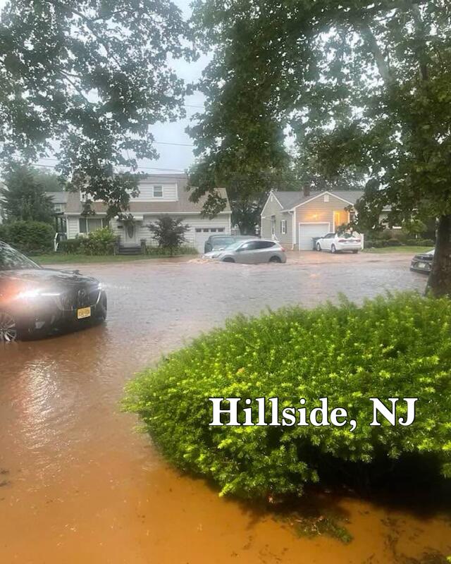
Yesterday evening, New Jersey was pounded by a sudden, torrential downpour that unleashed what equates to a full month’s worth of rain in just a few intense hours. 
The deluge triggered severe flash flooding across the state, prompting Governor Phil Murphy to declare a state of emergency affecting all 21 counties, effective since 8 p.m. on July 14.
The National Weather Service had issued a flash flood warning, highlighting the marginal to slight risk of heavy rainfall capable of inundating urban and rural areas, and advised taking shelter immediately.
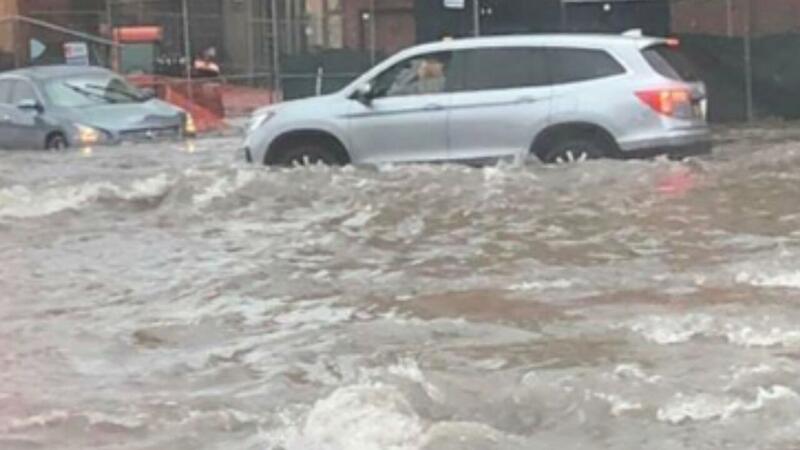
Rising waters rapidly transformed streets and highways into swift-moving rivers with little warning, stranding countless vehicles and drivers alike.
City officials in Plainfield, North Plainfield, Scotch Plains, and neighboring towns saw road closures on major routes, notably Route 22 and stretches of the New Jersey Turnpike spanning from Middlesex to Union County, which were severely flooded and impassable.
“Flood waters brought a major roadway in Scotch Plains to a standstill, stranding buses,” according to AP.
Emergency responders worked through the night to extract roughly 100 individuals trapped in their flooded vehicles and homes.
Sadly, heavy flow forced first responders to call for reinforcements and warn residents not to attempt travel unless absolutely necessary.
Over in New York, similarly extreme rain showers triggered flash flood warnings throughout the tri‑state region. 
NYC’s flashing stairwells and submerged subway platforms led the MTA to suspend entire lines amid “water gushing through stations like waterfalls”.
According to the National Weather Service’s Mount Holly forecast, scattered thunderstorms and showers are likely to continue through Tuesday, maintaining a multi‑day flash flood threat, especially in urban and low‑lying areas.