
By: Richard L. Smith
New Jersey is waking up to calmer skies after an active day of severe weather on Tuesday that prompted numerous tornado warnings, flash flood alerts, lightning strikes, and water rescues across portions of North Jersey.

For many residents, the storm ultimately had more bark than bite. While forecasters warned of the potential for widespread damaging weather, much of the Newark, Harrison, Kearny and surrounding Essex County region avoided the heaviest rainfall.
However, other parts of North Jersey experienced significant flooding, dangerous lightning, and isolated severe weather.
Did your phone sound off with tornado warnings yesterday?
Many residents across North Jersey received multiple Wireless Emergency Alerts as storms moved through the region.
The greatest concern developed along the Morris and Passaic County border, where the National Weather Service issued several tornado warnings.
Survey teams later confirmed that at least one tornado touched down in the Parsippany-Troy Hills area, while meteorologists continued investigating damage from another suspected tornado nearby.
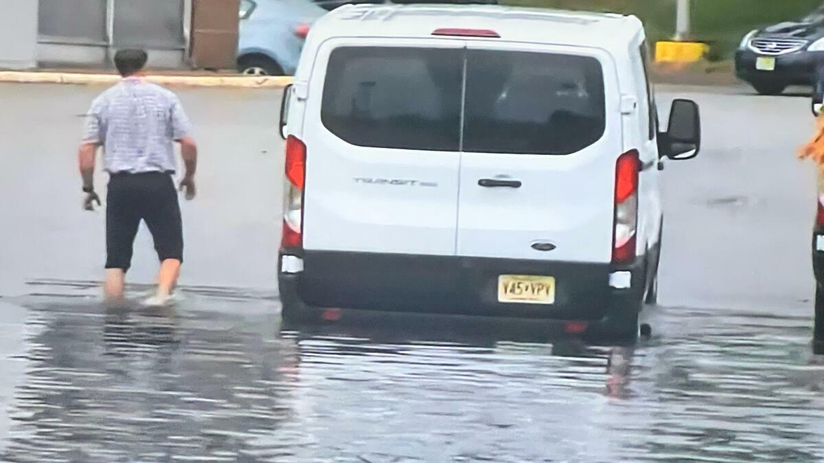
Elsewhere, emergency crews remained busy throughout the afternoon responding to flooded roadways and stranded motorists.
In Bergen County alone, first responders handled numerous water rescues after vehicles became trapped in rapidly rising floodwaters. Incidents were reported in Ridgewood, Fair Lawn, Paramus, Garfield, Hackensack and other communities, where several roads were temporarily closed due to flooding.
Rescue crews helped occupants escape vehicles that became stranded in high water, and emergency officials urged motorists to never drive through flooded roadways.
Strong thunderstorms also produced intense lightning. In Glen Rock, lightning struck a church, prompting a response from firefighters and mutual aid companies as crews checked the building for damage.
Although localized flash flooding developed in several areas, rainfall totals across much of northeastern New Jersey were lower than initially anticipated, limiting the widespread flooding that forecasters had feared earlier in the day.
By Tuesday evening, the storms had moved offshore, allowing cooler, drier air to settle into the Garden State. 
Fortunately, no serious injuries were immediately reported despite the busy day for emergency responders.
With calmer weather expected for the remainder of the week, residents now have an opportunity to clean up from Tuesday’s storms while officials continue surveying tornado damage and assessing the hardest-hit communities across North Jersey.