
By: Richard L. Smith
Torrential rain, powerful thunderstorms, and flash flooding turned parts of New Jersey into waterways on Saturday, keeping first responders busy from morning through late evening as emergency crews responded to flooded roads, water rescues, stranded motorists, and storm-related hazards across the state.

The National Weather Service had warned that multiple rounds of heavy rain and severe thunderstorms could produce rainfall rates of up to several inches per hour, along with damaging wind gusts and dangerous flash flooding.
Flood Watches and Flash Flood Warnings were issued across much of northern and central New Jersey as the storms developed throughout the day.
In Newark, Public Safety Director Emanuel Miranda, Sr. had urged motorists to avoid flood-prone streets as the city prepared for the storm. Police, firefighters, and the Office of Emergency Management coordinated responses to flooding, weather-related emergencies, and alarm activations while warning residents to stay away from numerous intersections and roadways known to flood during heavy rainfall.
As the rain intensified, those warnings quickly became reality.
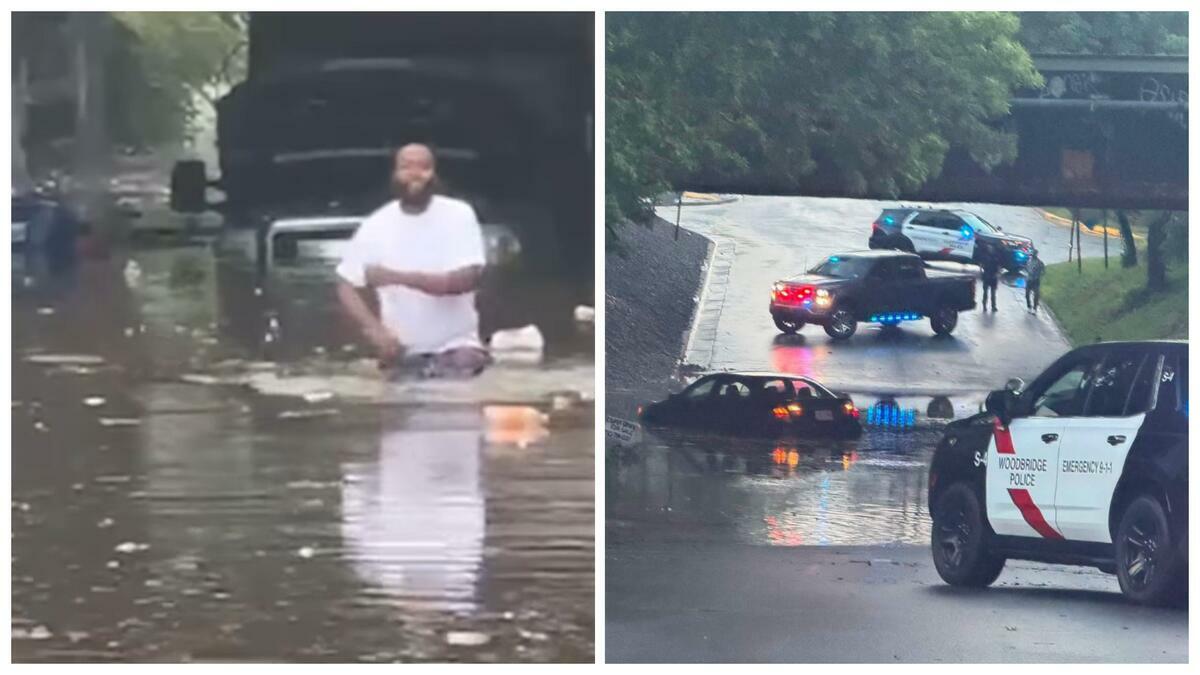
Early Saturday afternoon, firefighters in Newark responded to a vehicle that became trapped in floodwaters near Route 22 and Empire Street, where rescue operations were launched to safely remove occupants.
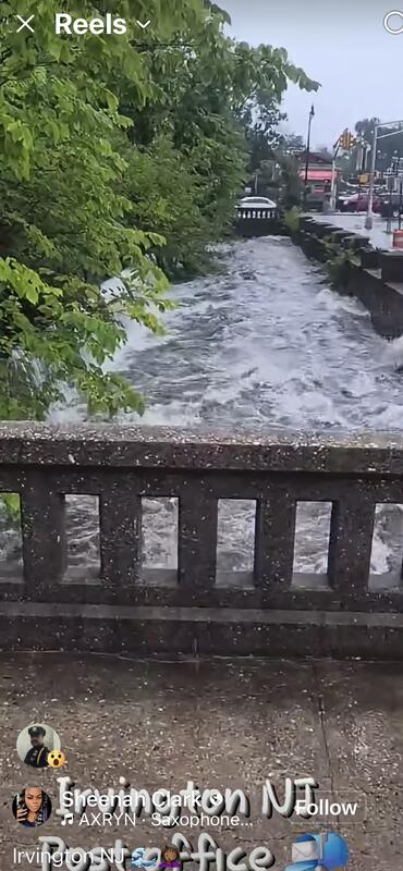
Meanwhile, in neighboring Lyndhurst, emergency crews responded after a loose barge broke free on the Passaic River during the storm.
Authorities said the drifting vessel struck the De Jessa Memorial Bridge before continuing south with the tide. Officials later worked to secure the vessel while inspectors evaluated the bridge for possible damage.
Flooding rapidly spread into Middlesex County, forcing the closure of New Brunswick Avenue in Perth Amboy between Amboy Avenue and Prospect Street.
A short time later, authorities shut down Route 35 in both directions at Laurence Parkway in Old Bridge as rising water made the highway impassable.
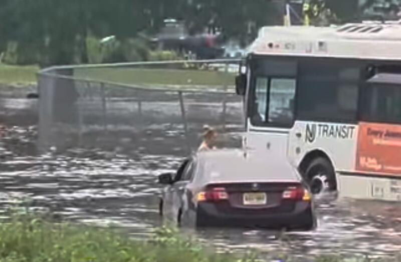
By mid-afternoon, Mercer County also experienced significant flooding. Firefighters in Trenton responded to flooded roadways near Parkside Avenue and Edgewood Avenue, where vehicles became trapped in high water.
Emergency crews safely removed all occupants from one of the stranded vehicles.
The severe weather continued into the evening.
In Point Pleasant, emergency crews responded after lightning struck a home on Johnson Avenue, leaving residents reporting the smell of electrical burning inside the residence.
Farther north in Bergen County, firefighters assisted after another vehicle became trapped beneath a flooded underpass in Glen Rock. Officials said everyone inside the vehicle safely escaped before crews arrived.
Flooded roadways remained a concern into the night. Police in Garwood reported significant flooding beneath the Center Street railroad underpass, while Jersey City emergency responders were dispatched to a separate crash involving a vehicle that struck a tree at Bergen and Duncan avenues.
The storms also helped clear much of the thick Canadian wildfire smoke that had blanketed New Jersey for several days.
While the rain brought improved air quality, it also created hazardous travel conditions as rapidly rising water overwhelmed streets, highways, and low-lying areas across the region.
Throughout the day, emergency officials repeatedly reminded residents never to drive through flooded roadways, noting that even a small amount of moving water can sweep away a vehicle.
By Saturday night, the storms had moved east, leaving behind flooded neighborhoods, damaged property, and a long list of weather-related incidents that stretched from Newark to the Jersey Shore.