
By: Richard L. Smith
Newark and several surrounding communities were left dealing with flooded roads, stranded vehicles and major traffic backups Thursday as heavy rain and thunderstorms made for a miserable day across New Jersey.

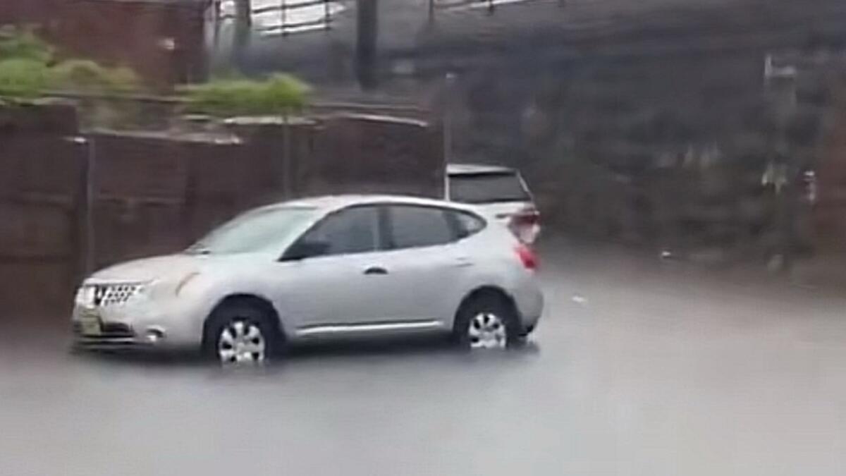
In Newark, firefighters responded to Clay Street near Route 21, where two vehicles became stranded in floodwaters.
Similar conditions developed in neighboring Harrison, where a vehicle became trapped in high water near Frank E. Rodgers Boulevard South and Somerset Street. The occupant reportedly made it safely to dry ground.
Union County experienced its share of trouble, particularly along Route 22, where flooding created lengthy traffic backups.
Motorists trying to avoid the congestion found themselves on crowded local streets in Hillside, where flooding also caused problems.
At Hollywood Avenue and Conant Street in Hillside, firefighters responded to a vehicle stranded in a flooded roadway. The occupants were reported safely out of the water.
The New Jersey Department of Transportation also reported flooding along eastbound Route 22 near Frelinghuysen Avenue in Newark, Route 24 in Springfield and several roadways near the Jersey Shore.
According to the National Weather Service, thunderstorms brought periods of heavy rainfall across the region, prompting flood advisories for Essex, Hudson and Union counties.
Forecasters reported that some areas had already received between a half-inch and an inch of rain, with additional heavy downpours threatening neighborhoods with poor drainage.
The problems extended well beyond North Jersey.
In Monmouth County, emergency crews were called to Annapolis Street and Heritage Boulevard in Tinton Falls after a Chevrolet Trailblazer became stranded in floodwaters with an occupant reportedly still inside.
The National Weather Service also issued flash flood warnings for portions of Monmouth and Ocean counties, where thunderstorms produced between one and two inches of rain in some locations.
Elsewhere, firefighters in Lacey Township responded to a reported lightning strike involving a boat on Barramore Avenue, where smoke and flames were reported.
Another lightning-related emergency was reported at a home on Duxbury Lane in Barnegat Township.

Strong weather also brought down trees and electrical wires.
In Bloomingdale, Passaic County, a tree fell across Union Avenue, bringing power lines down with it. In Chesterfield Township, Burlington County, emergency crews encountered a fallen tree and wires along Old York Road while responding to a reported structural collapse nearby.
The storm was part of a developing coastal weather system that brought unusually active November weather to the region.
NWS forecasters reported that they were tracking the potential for damaging winds, flash flooding and even a wintry mix as colder air moved into the state.
For many New Jersey motorists, Thursday was a reminder of how quickly familiar roads can become difficult to navigate when heavy rain overwhelms drainage systems.
And the unsettled weather isn't quite finished. Friday's forecast calls for colder conditions, additional rain and temperatures struggling through the 40s, with a possible wintry mix in parts of North Jersey before conditions gradually improve heading into the weekend.