By: Richard L. Smith
Newark and the North Jersey region are waking up to warm, humid conditions, but forecasters warn that severe storms with flash flooding will move in later today, ending the heatwave and ushering in unusually cooler temperatures for Friday and the weekend.

As of 4:30 a.m., it was 79 degrees at Ferry and Monroe Streets in Newark’s Ironbound section.
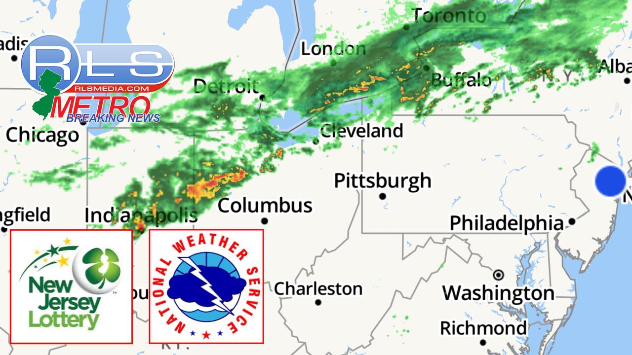
While the morning will remain hot and muggy, residents are urged to prepare for heavy rainfall and stormy conditions by the evening commute, with some areas expected to receive between 2 to 4 inches of rain.
According to the National Weather Service, Thursday will bring a chance of showers and thunderstorms before heavier storms develop after 2 p.m., potentially producing significant rainfall.
Evening conditions are expected to remain dangerous, with more storms and flash flooding possible.
By Thursday night, showers and thunderstorms will persist before tapering off, with temperatures dropping to around 64 degrees.

Officials advise motorists to remain cautious during the evening commute and avoid flooded roadways as storms sweep through the region.