By: Richard L. Smith
Essex County officials are expanding the use of advanced technology, including Geographic Information Systems (GIS), predictive analytics, and machine learning, to better prepare for emerging public health threats such as Hantavirus, county leaders announced.

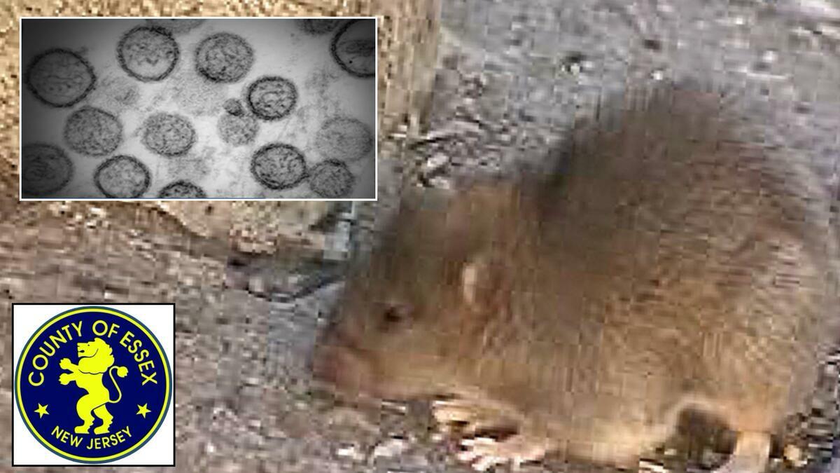
Essex County Executive Joseph N. DiVincenzo, Jr. said the Essex County Office of Public Health Management has been closely monitoring global developments involving the virus since Hantavirus was first detected aboard the MV Hondius cruise ship on April 6.
Health officials emphasized that there have been no reported cases of Hantavirus in Essex County or anywhere in New Jersey at this time.
Building on nationally recognized GIS initiatives already underway in the county, health officials are now integrating advanced spatial analysis and machine learning technologies to identify rodent activity trends, environmental risk factors, sanitation concerns, illegal dumping patterns, and possible disease transmission risks before they develop into larger public health issues.
County officials said the effort is part of a growing national movement that recognizes rodent control as an essential part of public health infrastructure rather than simply nuisance enforcement.
“Our goal is to move from reactive enforcement to predictive public health,” said Maya Harlow, Health Officer and Director of the Essex County Office of Public Health Management.
“By leveraging GIS mapping, machine learning, and environmental intelligence, Essex County is creating a smarter and more proactive approach to protecting communities.”
Harlow added that the enhanced system allows officials to identify patterns earlier, deploy resources more efficiently, and better protect residents from environmental conditions that may contribute to disease and other quality-of-life concerns.
The county’s enhanced monitoring system incorporates multiple data sources, including environmental complaint trends, housing and sanitation indicators, weather and seasonal patterns, waste management activity, illegal dumping reports, infrastructure and construction projects, historical rodent activity reports, and GIS hotspot mapping.

Officials noted that Essex County’s approach aligns with the national “One Health” framework, which focuses on the relationship between environmental conditions, animal populations, and human health outcomes.
Recent geospatial modeling studies across the country have increasingly emphasized the importance of combining environmental, infrastructure, and public health data to improve disease prevention and strengthen community resilience.