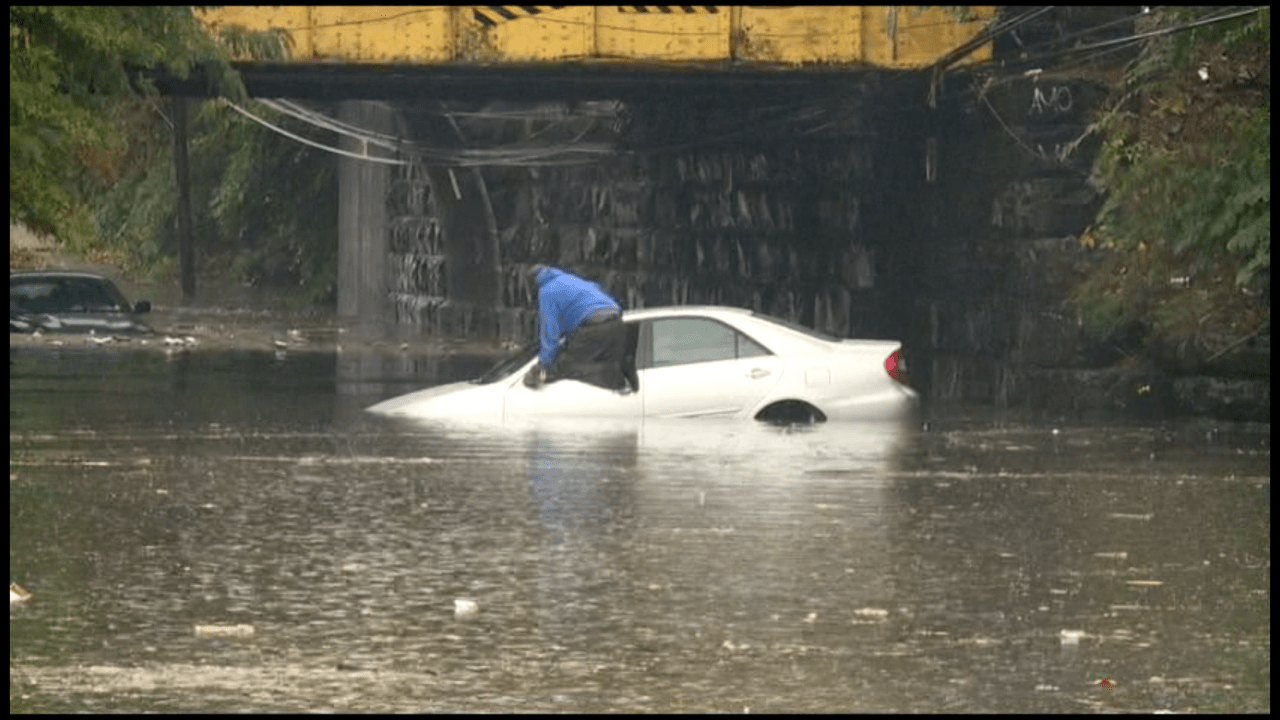
Much of Northern New Jersey will see heavy precipitation and strong winds this today -Saturday- as a nor’easter has begun to dump rain during the overnight hours and into this morning.
According to The National Weather Service, they issued a flash flood warning to parts of the Newark and northern New Jersey to southeastern Massachusetts as “low pressure moving across the Southeast” will bring with it “widespread precipitation and windy conditions” along the coast.
Weather officials say the worst of the storm is expected to hit between early this morning lasting into Saturday afternoon.
The Newark Department of Public Safety is coordinating responses to burglar alarms, flooding conditions, and other weather-related incidents through the combined use of Police, Fire, and Office of Emergency Management Personnel.
**The following locations should be avoided due to flooding conditions or the potential for flooding in Newark:**
• Clay Street and McCarter Highway
• South Street and Van Buren Street
• Jefferson and Chestnut Streets
• State Street near Broad Street
• Jabez and Backus Streets
• 357 Wilson Avenue
• Manufacturers Place and Hyatt Street
• Magazine Street and Avenue L
• Avenue L and Wilson Avenue
• Ferry and Foundry Streets
• Norfolk Street
• Orange Street
• Nesbitt Street
• McClellan and Frelinghuysen Avenue
• Frelinghuysen Avenue and the Route 21 underpass
**INFORMATION CREDIT:**National Weather Service
**IMAGE CREDIT:** RLS File Photo